Nadeau Land Surveys provides a diversified range of land surveying, GPS mapping, and floodplain services, as well as guidance and consultation.

Explore Our Services

Get In Touch

If you are interested in purchasing, selling, subdividing, evaluating, or improving your real estate, you may need land surveying services. Call 866-493-5930 to discuss your needs and obtain a free quote or fill out our web form and we will get back to you.

Request services and obtain a quote

More Information

For more information pertaining to the process and components of a boundary survey, please go to the following pages in our website.

Marking of a surveyed boundary corner
Ed setting up our GPS on icy Kezar Lake
Jim measuring up a building
Mark collecting data for an Elevation Certificate in Cape Elizabeth
Alex performing an elevation certificate in Old Orchard Beach
Jim Reidy performing a boundary survey in Old Orchard Beach
Mark and Alex establishing control in Lewiston
Tom and Alex referencing elevations on Chebeague Island

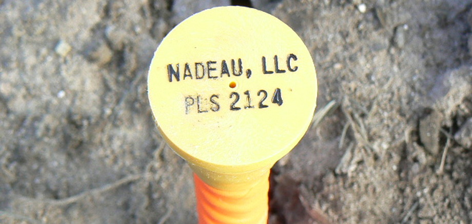
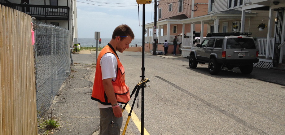
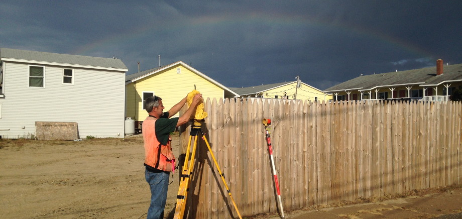
Elevation Certificates

Have you been mapped into a high-risk flood zone, but you feel your home has low flood risk? Perhaps your mortgage lender has requested you get an Elevation Certificate as a condition of a loan. Or maybe you’d like to try and lower your flood insurance premiums. Whatever the case, we can help!

Learn More & Request Services >>>

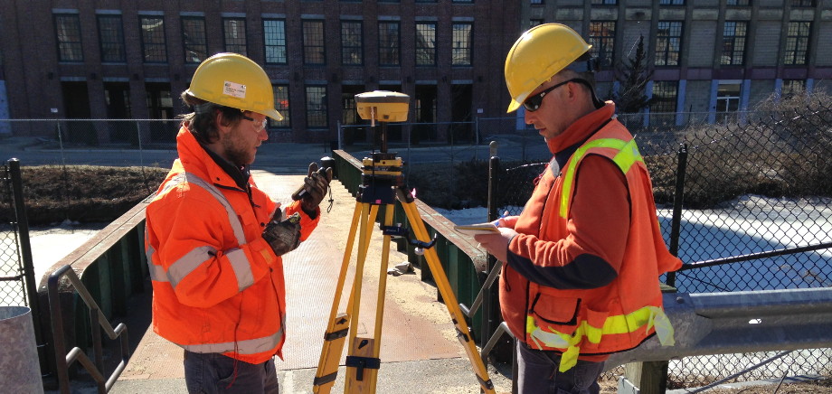
Mortgage Loan Inspection

In addition to confirming setback compliance and flood zone determination, we take great care in assisting clients toward the closing table by providing any missing deed, plan, and municipal references, offer assistance with resolution of discrepancies, and can deliver MLI Plans directly to your loan processors.

Learn More & Request Services >>>

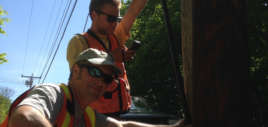
Underground Utility Location

As a division of Nadeau Land Surveys, we perform underground utility location under the name of AAB (Above And Below) Utility Locating. Upon completion of research and field identification, as Land Surveyors we can field locate with GPS then map, the accurate location and elevation of the utility.

Learn More & Request Services >>>

About Us

Our team consists of three licensed State of Maine Professional Land Surveyors (#2124, #2370, #2446), survey support staff, and an Education Coordinator.

Client Testimonials

All Testimonials | Create A Testimonial

It was such an amazing experience working with the pros at Nadeau Land Surveys. I can't thank you enough. And...everyone was so nice and knowledgeable and I felt like I could call or email no matter what.

Nancy T.

Subscribe To Our Newsletter

Welcome To The Flood Zone

A nationally distributed resource for those interested in flood zone issues, land surveying, real estate, history, and educational opportunities.

Read the Latest Issue | Visit the Newsletter Archive

Accelerate Your Professional Growth With Us!

Explore Beyond The Boundary

Beyond The Boundary Is The Educational Component of Nadeau Land Surveys

Visit beyondtheboundary.org for more information

Upcoming Education Events

There are no events

Past Speaking Engagements

Links & Resources

At Nadeau Land Surveys, we enjoy sharing our knowledge with others. Here you'll find information about local municipalities, history, as well as links to important sites.

Jim's Blog

Informative articles, flyers, and other publications to guide you through land surveying, flood zones, and real estate.